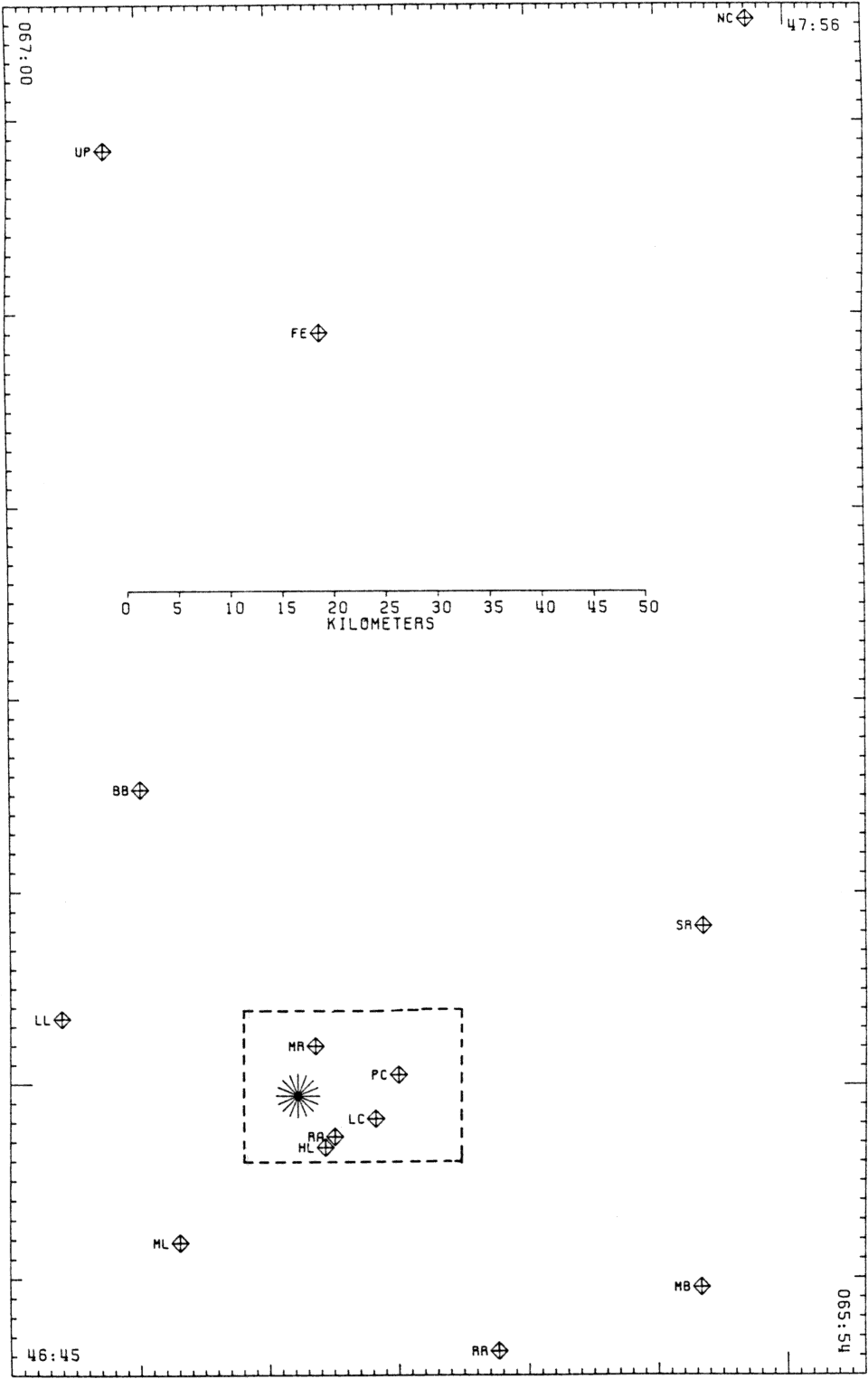
Figure 4.
Sketch map of the epicentral region showing the smoked-drum
recorder stations whose records have been used to locate the events shown in
Figure 5.
The epicenter of the magnitude 3.5 aftershock is plotted as a star for the purposes of reference.
The study area shown at larger scale in
Figure 2
is delineated by the rectangle.