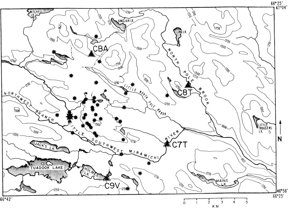
Figure 2.
Topographic map of study area showing aftershock epicenters and digital station locations.
Topographic contours are in feet above sea level.

Figure 2.
Topographic map of study area showing aftershock epicenters and digital station locations.
Topographic contours are in feet above sea level.