high-resolution version (32.4Kb)
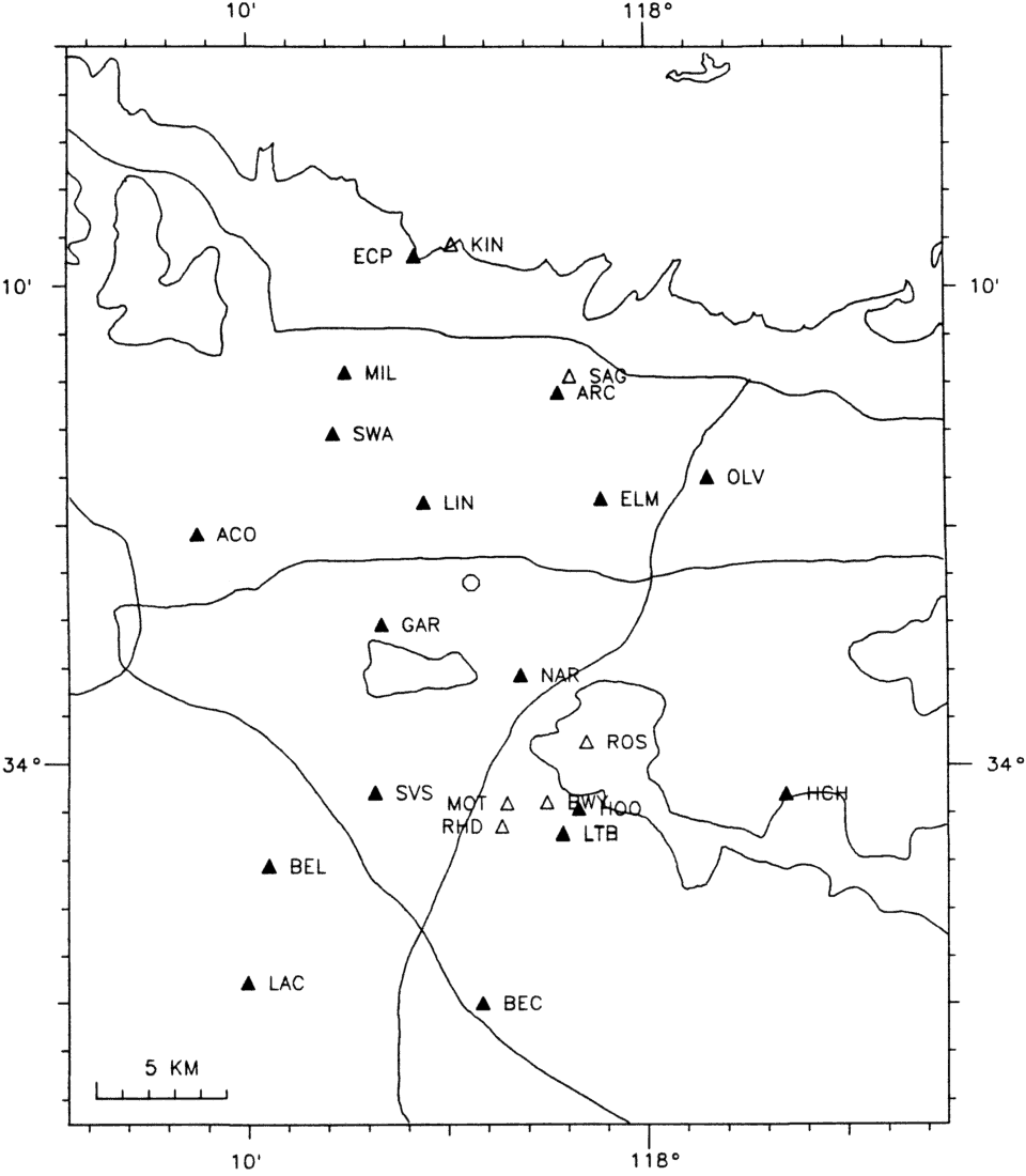
Figure 1. Map of the Whittier Narrows meizoseismal area showing mainshock epicenter (octagon),
GEOS station locations (triangle - solid if co-sited with strong motion accelerograph), and physiographic
boundaries and roads (solid line).