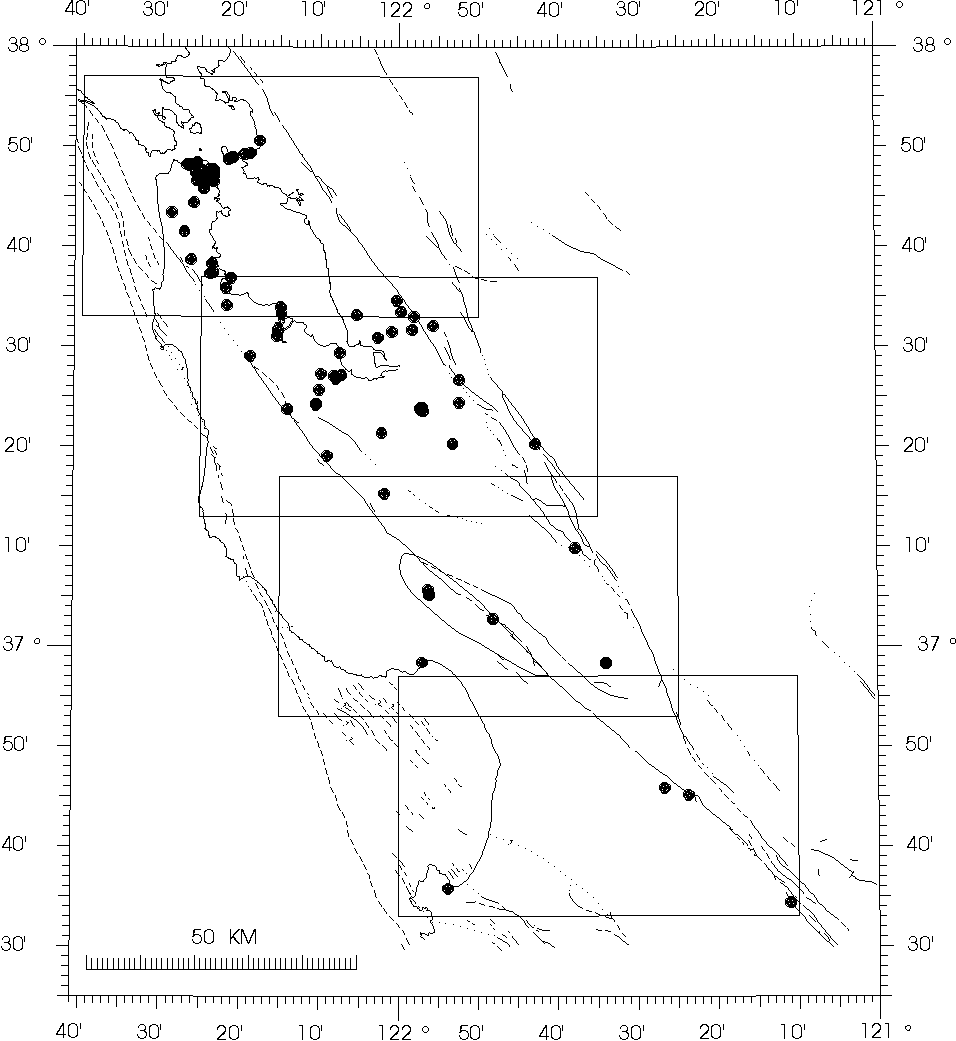
Figure 1. GEOS station locations (dots) superimposed on a map of central California showing coastline, faults, and estimated main-shock rupture area (crosshatch). Boxes outline four larger scale maps shown in Figures 2, 3, 4, and 5.
Open-File Report 90-503 Digital Recordings of Aftershocks of the 17 October 1989 Loma Prieta, California, Earthquake
Digital Recordings of Aftershocks of the 17 October 1989 Loma Prieta, California, Earthquake